First Report
$9.90
Try the dossier. Once per account.
- 1 full dossier
- Delivered in ~2 minutes
- GIS map + liens + maximum bid
Property auction · Broward County, FL
Free preview generated from official public records. Below, the geospatial X-ray of the parcel and the count of documents found in the Broward County official records. The full dossier reveals the creditors, the amounts and which debts survive the auction.
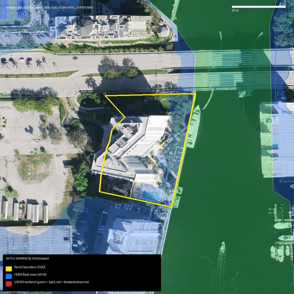
Official parcel polygon (FGIO), flood zone (FEMA NFHL), wetlands (USFWS NWI), mathematical road-access test, public occupancy signals (eviction reserve) and a nearby points-of-interest radar (OSM) with a resale liquidity score.
Official Records · County Clerk
Which ones survive the auction and become your debt? The full dossier shows the creditor, amount, status (SURVIVES / EXTINGUISHED) and the safe maximum bid — with copies of the recorded deeds.
You must check the box above (clickwrap) to purchase or use a credit.
$9.90
Try the dossier. Once per account.
$29.00
The price of lunch against a five-figure loss.
$99.00
$19.80 per dossier. Credits never expire.
$299.00/mo
For investors who bid every week.
Payments processed by Paddle (Merchant of Record): sales tax and a USD receipt included. If the county website is down, your credit is returned automatically.