Think Carfax, for Florida auction properties
Find the liens that survive the auction before you bid.
In 2 minutes we cross-check the County Clerk, the Property Appraiser, FEMA and USFWS to deliver a dossier with surviving liens, a GIS map and a safe maximum bid. $29 per parcel — or $9.90 for your first report.
$29 in 2 minutes. Manual competitors charge $50 to $90 and take 48 hours.
AuctionXray
$29
Delivered in 2 minutes
Automated + anti-hallucination validation
PropertyOnion
$50+
Delivered in up to 48 business hours
Manual preliminary search
ProTitleUSA (O&E)
$90
Delivered in up to 48 business hours
Manual Owner & Encumbrance report
5 GIS layers
Official parcel polygon, FEMA NFHL, USFWS Wetlands, road access and market comps.Survivability engine
Florida rules (§197.552 and §45.031) applied in deterministic Python — the AI never invents numbers.Deeds attached
Copies of the key pages of every mortgage, lien and judgment found in the official index.Zero-risk guarantee
County website down? 100% of your credit is returned automatically.
This week's auctions
Recently analyzed parcels, grouped by county. Free GIS preview.
Broward, FL (5)
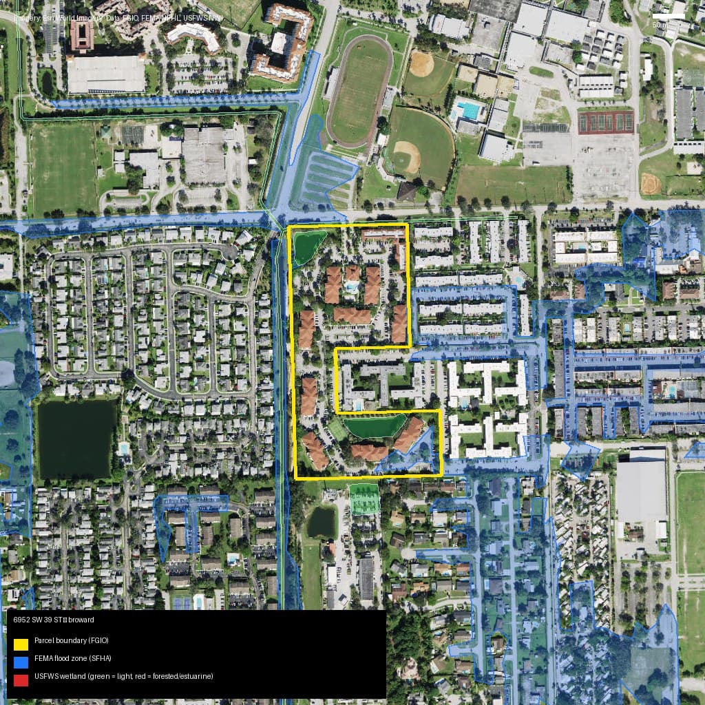
Broward, FL
6952 SW 39 ST, DAVIE, FL, 33314
- Zone AH — high risk (SFHA)
- 6.8% wetlands
Market value (AVM): $239,000
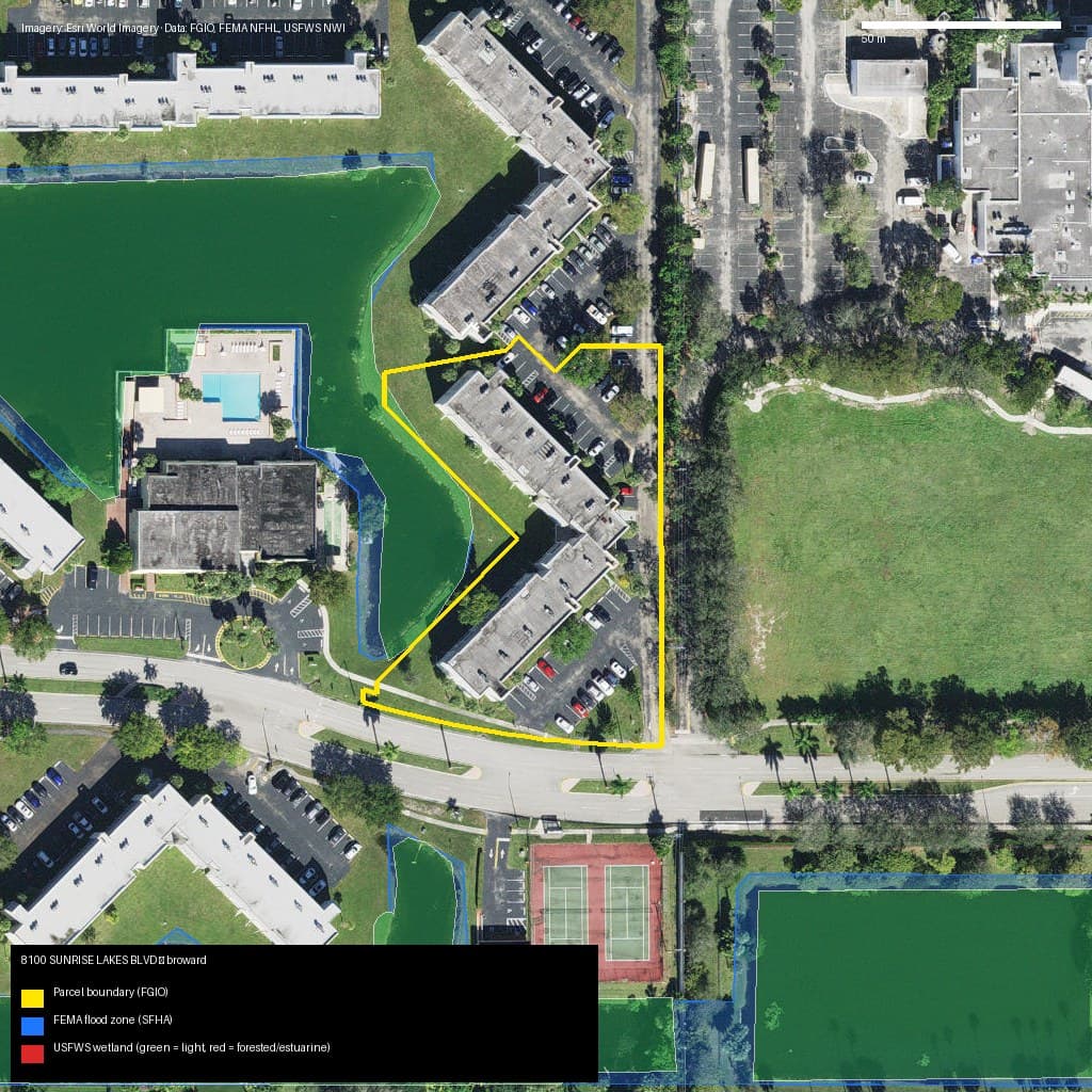
Broward, FL
8100 SUNRISE LAKES BLVD, SUNRISE, FL, 33322
- Zone X — low/moderate risk
- 0.6% wetlands
Market value (AVM): $108,000
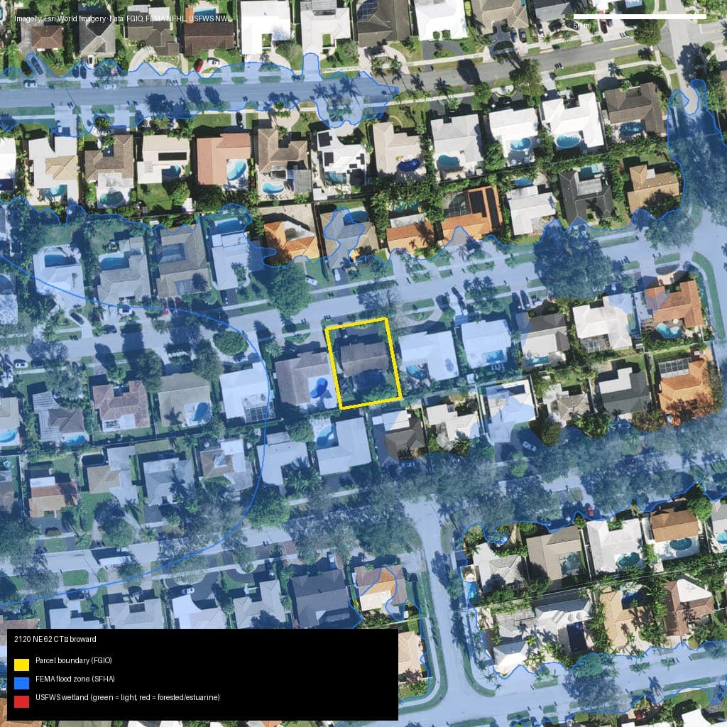
Broward, FL
2120 NE 62 CT, FORT LAUDERDALE, FL, 33308
- Zone AE — high risk (SFHA)
- 0% wetlands
Market value (AVM): $794,000
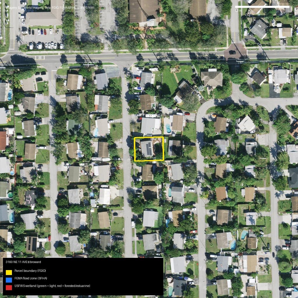
Broward, FL
3160 NE 11 AVE, POMPANO BEACH, FL, 33064
- Zone X — low/moderate risk
- 0% wetlands
Market value (AVM): $442,000
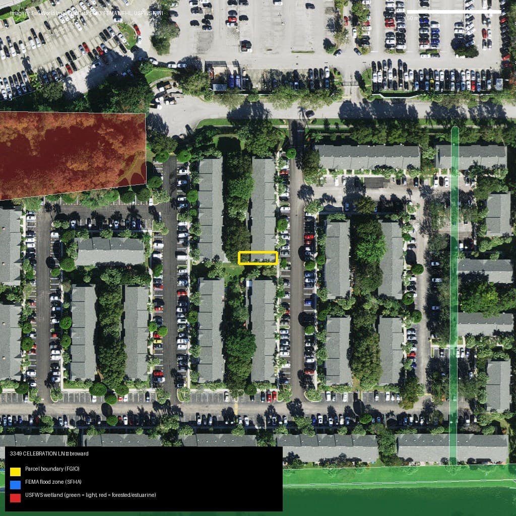
Broward, FL
3349 CELEBRATION LN, MARGATE, FL, 33063
- Zone X — low/moderate risk
- 0% wetlands
Market value (AVM): $294,000
Miami-Dade, FL (31)
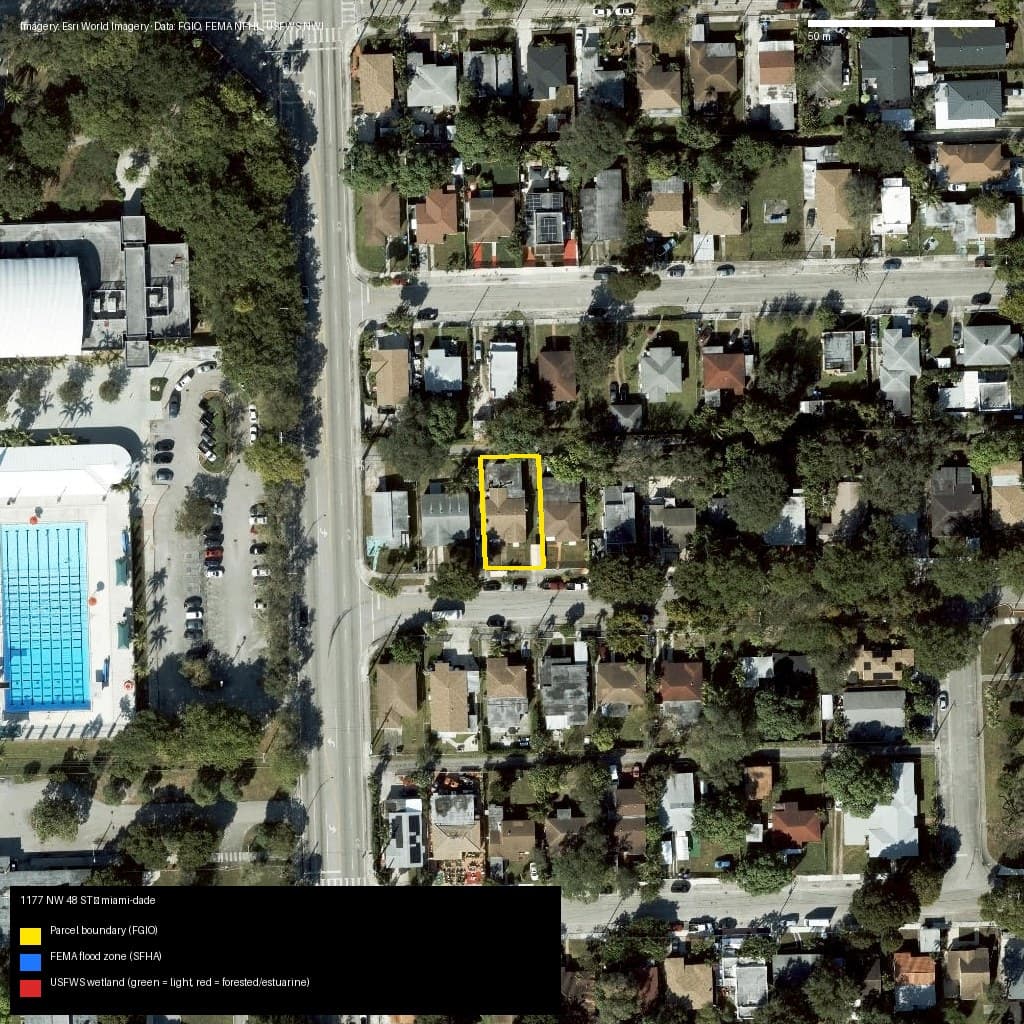
Miami-Dade, FL
1177 NW 48 ST, Miami, FL, 33127
- Zone X — low/moderate risk
- 0% wetlands
Market value (AVM): N/A
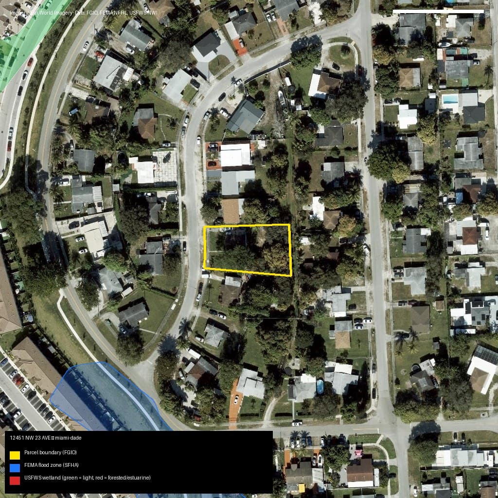
Miami-Dade, FL
12451 NW 23 AVE, Unincorporated County, FL, 33167
- Zone X — low/moderate risk
- 0% wetlands
Market value (AVM): N/A
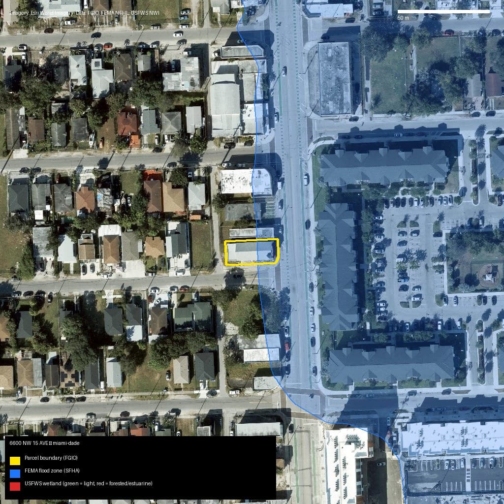
Miami-Dade, FL
6600 NW 15 AVE, Miami, FL, 33147
- Zone AH — high risk (SFHA)
- 0% wetlands
Market value (AVM): N/A
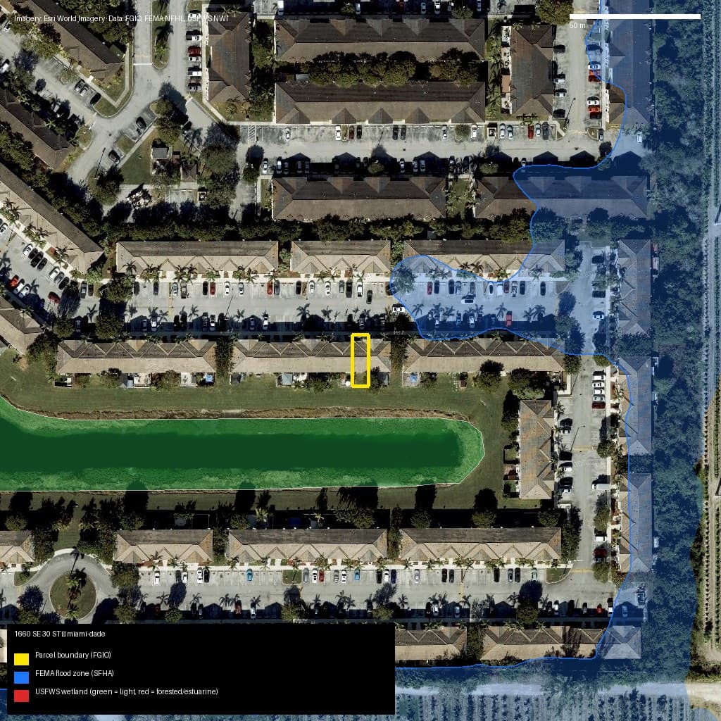
Miami-Dade, FL
1660 SE 30 ST, Homestead, FL, 33035
- Zone X — low/moderate risk
- 0% wetlands
Market value (AVM): N/A
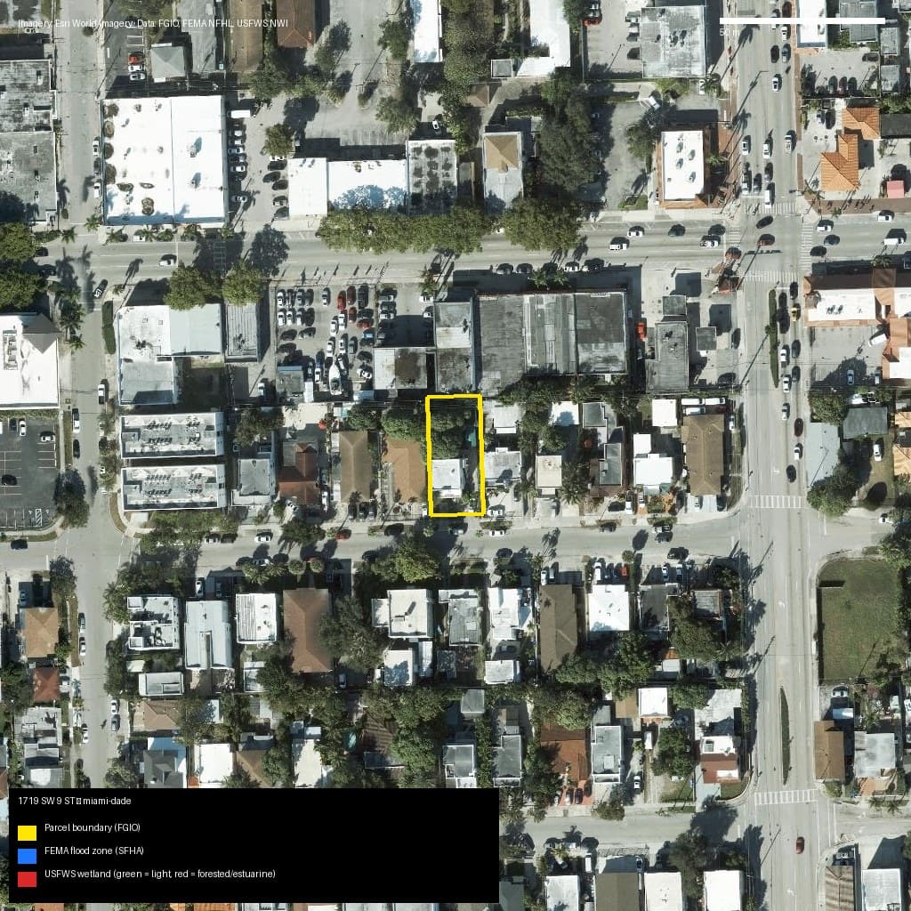
Miami-Dade, FL
1719 SW 9 ST, Miami, FL, 33135
- Zone X — low/moderate risk
- 0% wetlands
Market value (AVM): N/A
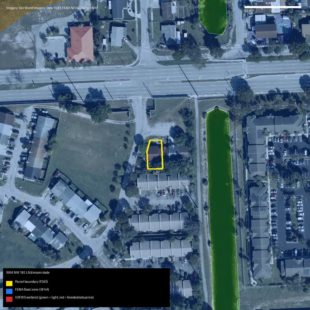
Miami-Dade, FL
3956 NW 182 LN, Miami Gardens, FL, 33055
- Zone AE — high risk (SFHA)
- 0% wetlands
Market value (AVM): N/A
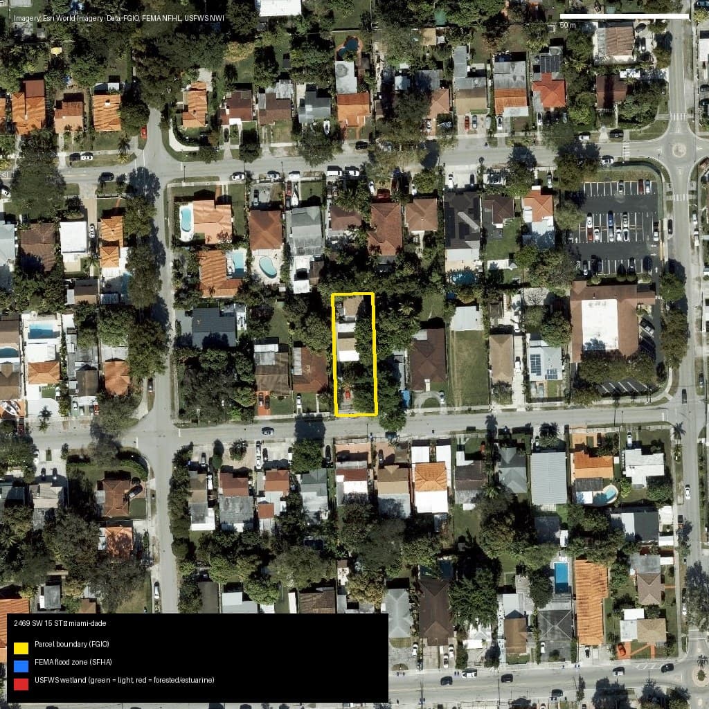
Miami-Dade, FL
2469 SW 15 ST, Miami, FL, 33145
- Zone X — low/moderate risk
- 0% wetlands
Market value (AVM): N/A
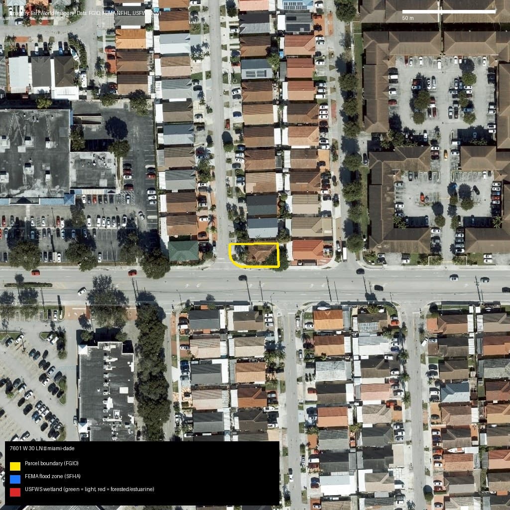
Miami-Dade, FL
7601 W 30 LN, Hialeah, FL, 33018
- Zone X — low/moderate risk
- 0% wetlands
Market value (AVM): N/A
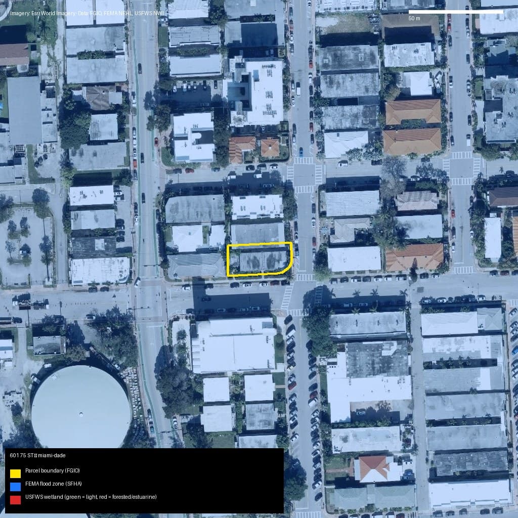
Miami-Dade, FL
601 75 ST, Miami Beach, FL, 33141
- Zone AE — high risk (SFHA)
- 0% wetlands
Market value (AVM): N/A
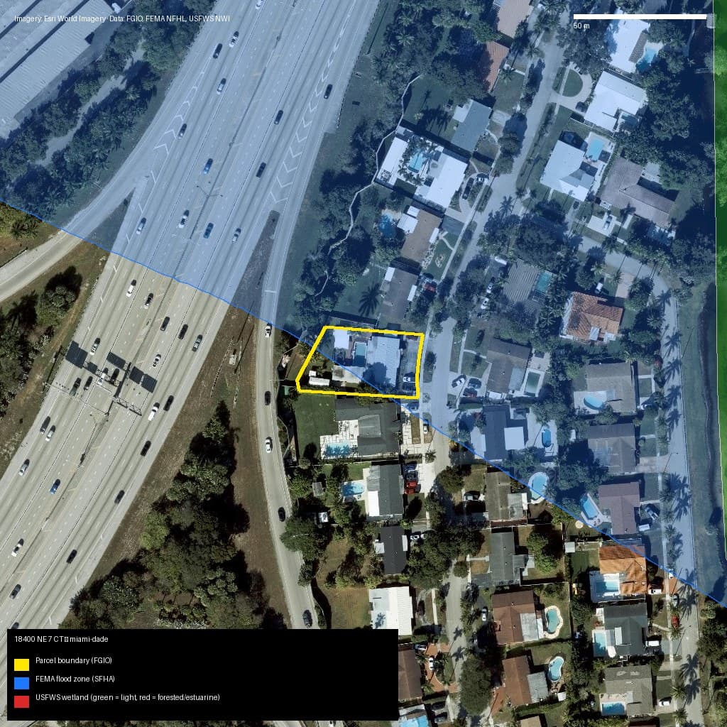
Miami-Dade, FL
18400 NE 7 CT, North Miami Beach, FL, 33179
- Zone AE — high risk (SFHA)
- 0% wetlands
Market value (AVM): N/A
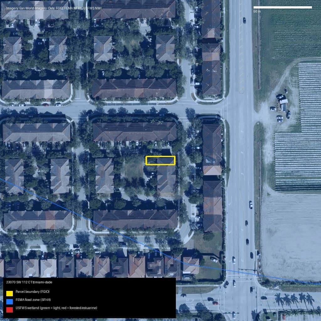
Miami-Dade, FL
23070 SW 112 CT, Unincorporated County, FL, 33170
- Zone AH — high risk (SFHA)
- 0% wetlands
Market value (AVM): N/A
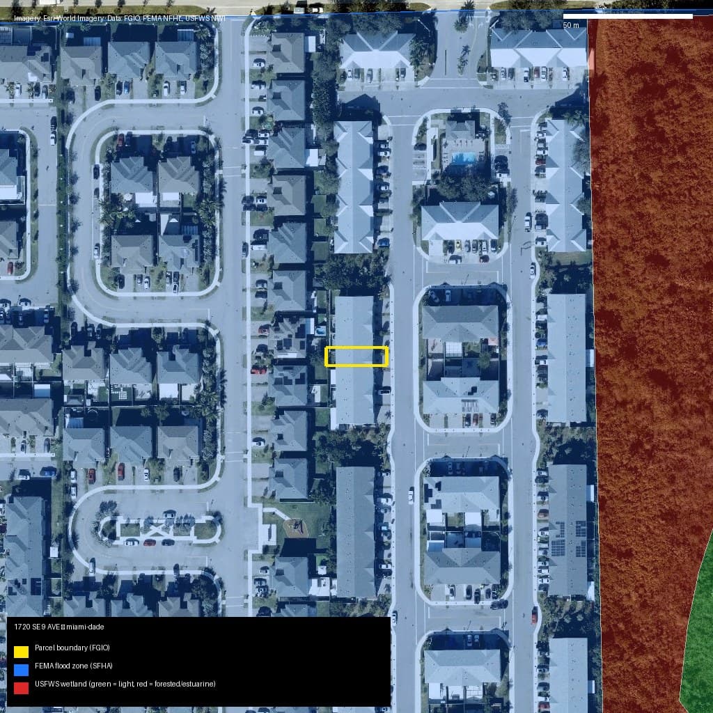
Miami-Dade, FL
1720 SE 9 AVE, Homestead, FL, 33034
- Zone AH — high risk (SFHA)
- 0% wetlands
Market value (AVM): N/A
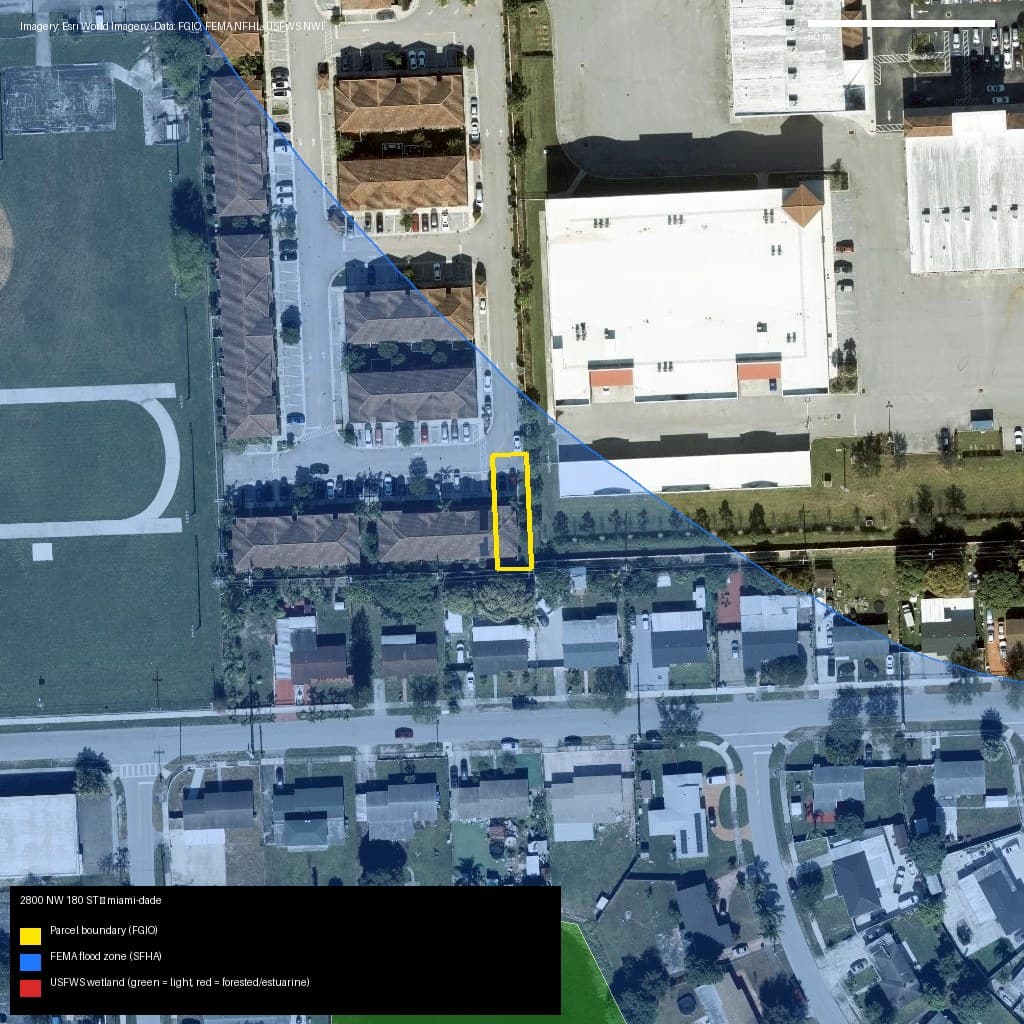
Miami-Dade, FL
2800 NW 180 ST, Miami Gardens, FL, 33056
- Zone AE — high risk (SFHA)
- 0% wetlands
Market value (AVM): N/A
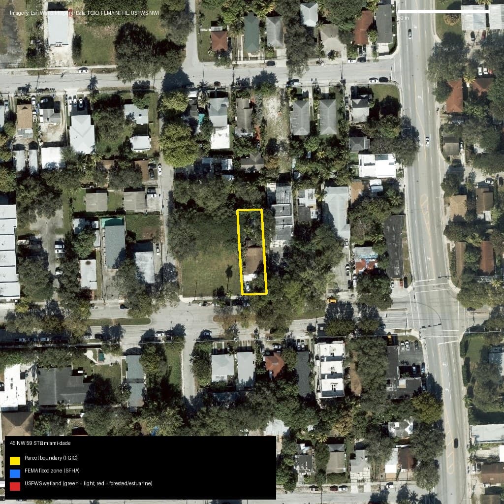
Miami-Dade, FL
45 NW 59 ST, Miami, FL, 33127
- Zone X — low/moderate risk
- 0% wetlands
Market value (AVM): N/A
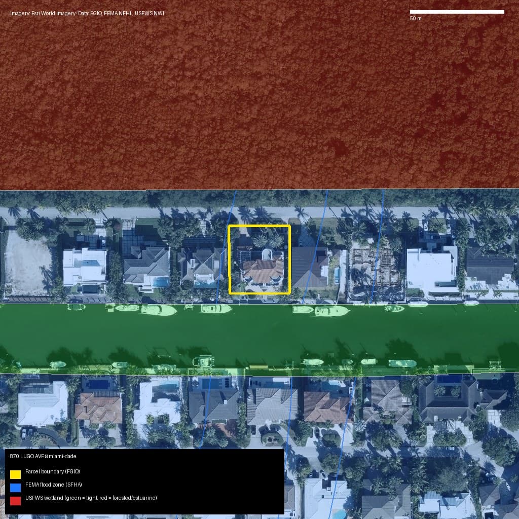
Miami-Dade, FL
870 LUGO AVE, Coral Gables, FL, 33156
- Zone AE — high risk (SFHA)
- 0% wetlands
Market value (AVM): N/A
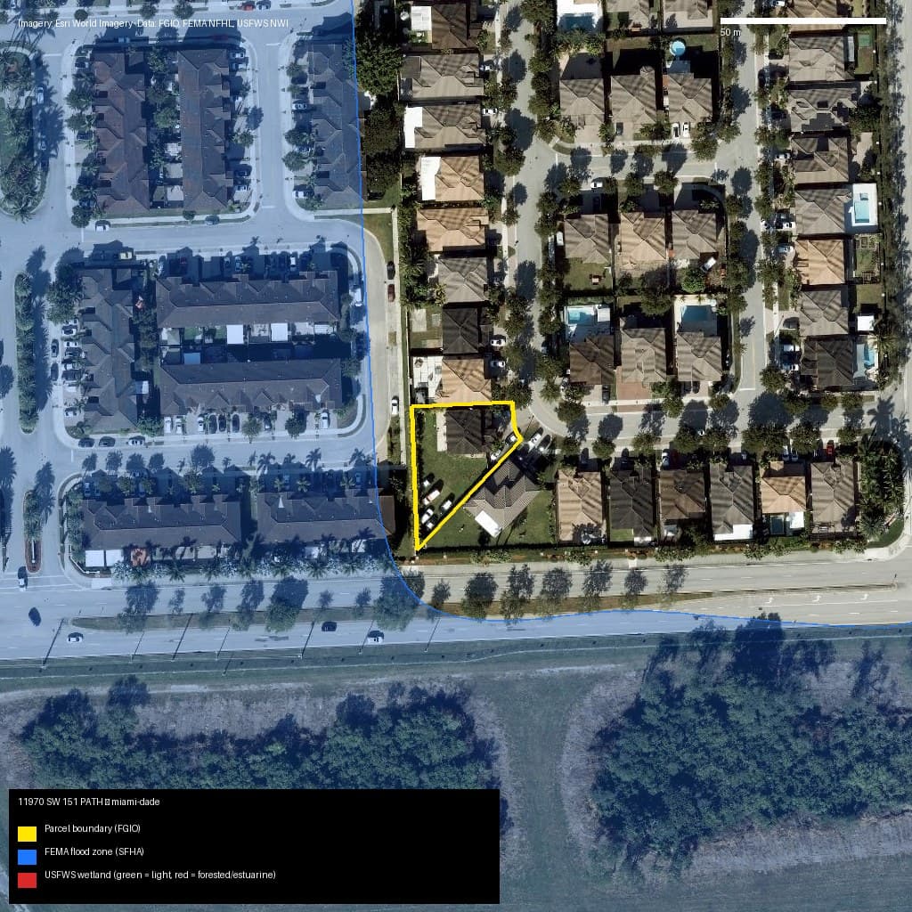
Miami-Dade, FL
11970 SW 151 PATH, Unincorporated County, FL, 33196
- Zone X — low/moderate risk
- 0% wetlands
Market value (AVM): N/A
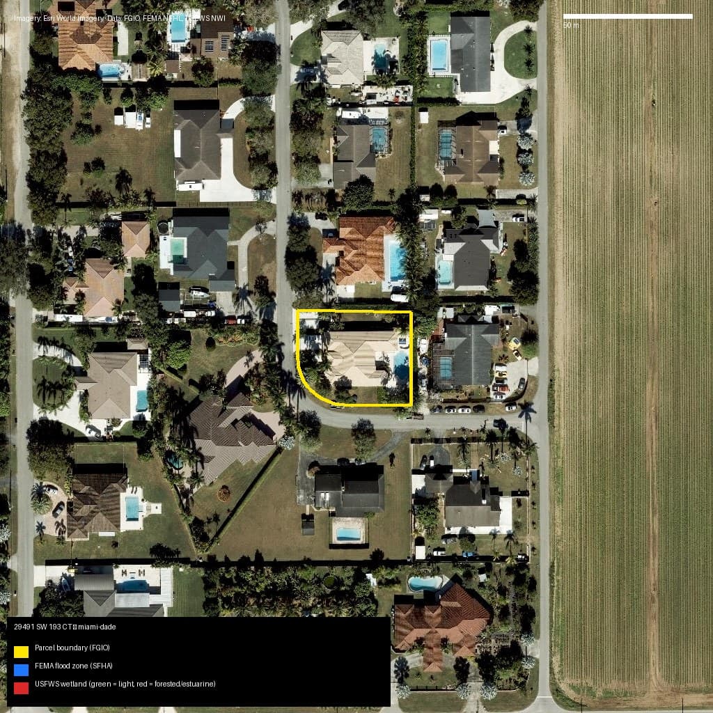
Miami-Dade, FL
29491 SW 193 CT, Unincorporated County, FL, 33030
- Zone X — low/moderate risk
- 0% wetlands
Market value (AVM): N/A
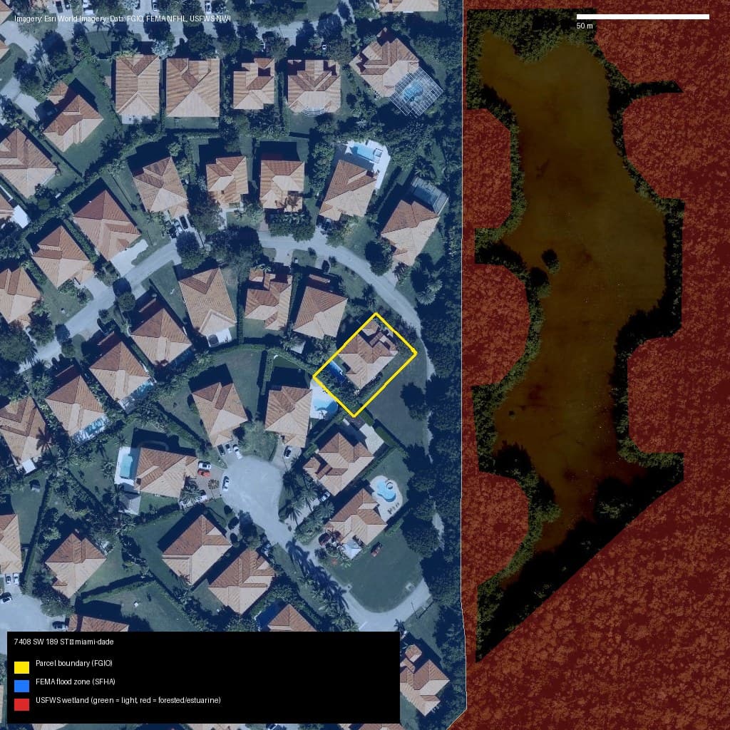
Miami-Dade, FL
7408 SW 189 ST, Cutler Bay, FL, 33157
- Zone AE — high risk (SFHA)
- 0% wetlands
Market value (AVM): N/A
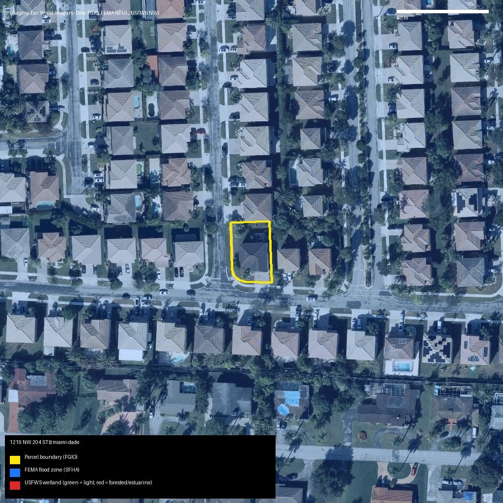
Miami-Dade, FL
1219 NW 204 ST, Miami Gardens, FL, 33169
- Zone AE — high risk (SFHA)
- 0% wetlands
Market value (AVM): N/A
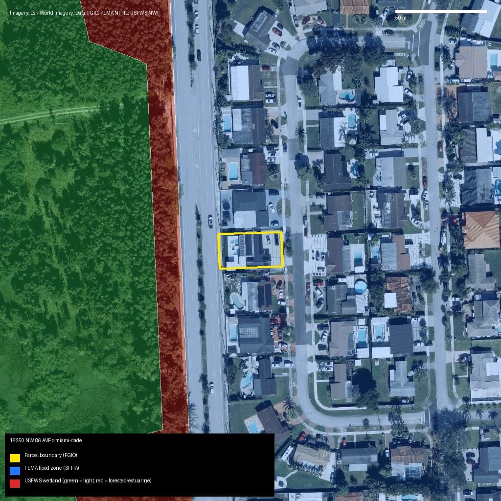
Miami-Dade, FL
18250 NW 86 AVE, Unincorporated County, FL, 33015
- Zone AE — high risk (SFHA)
- 0% wetlands
Market value (AVM): N/A
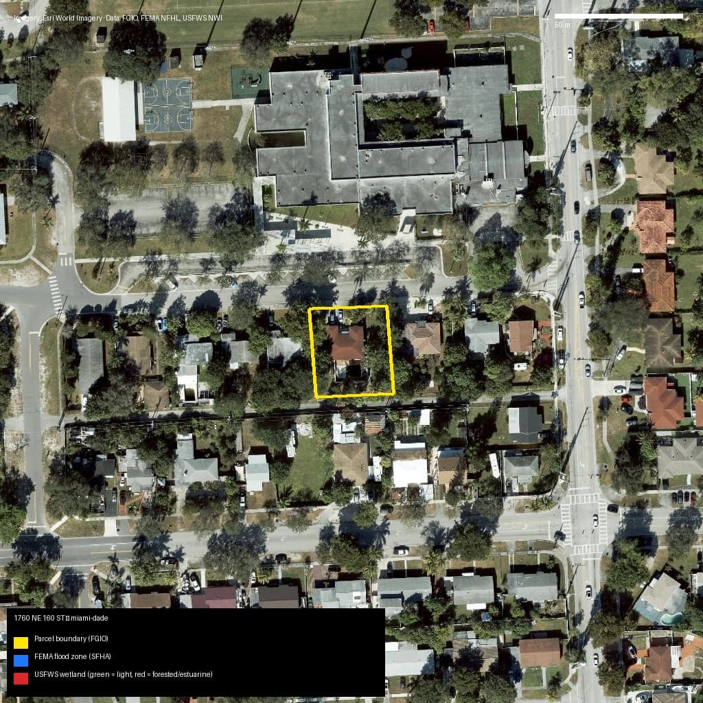
Miami-Dade, FL
1760 NE 160 ST, North Miami Beach, FL, 33162
- Zone X — low/moderate risk
- 0% wetlands
Market value (AVM): N/A
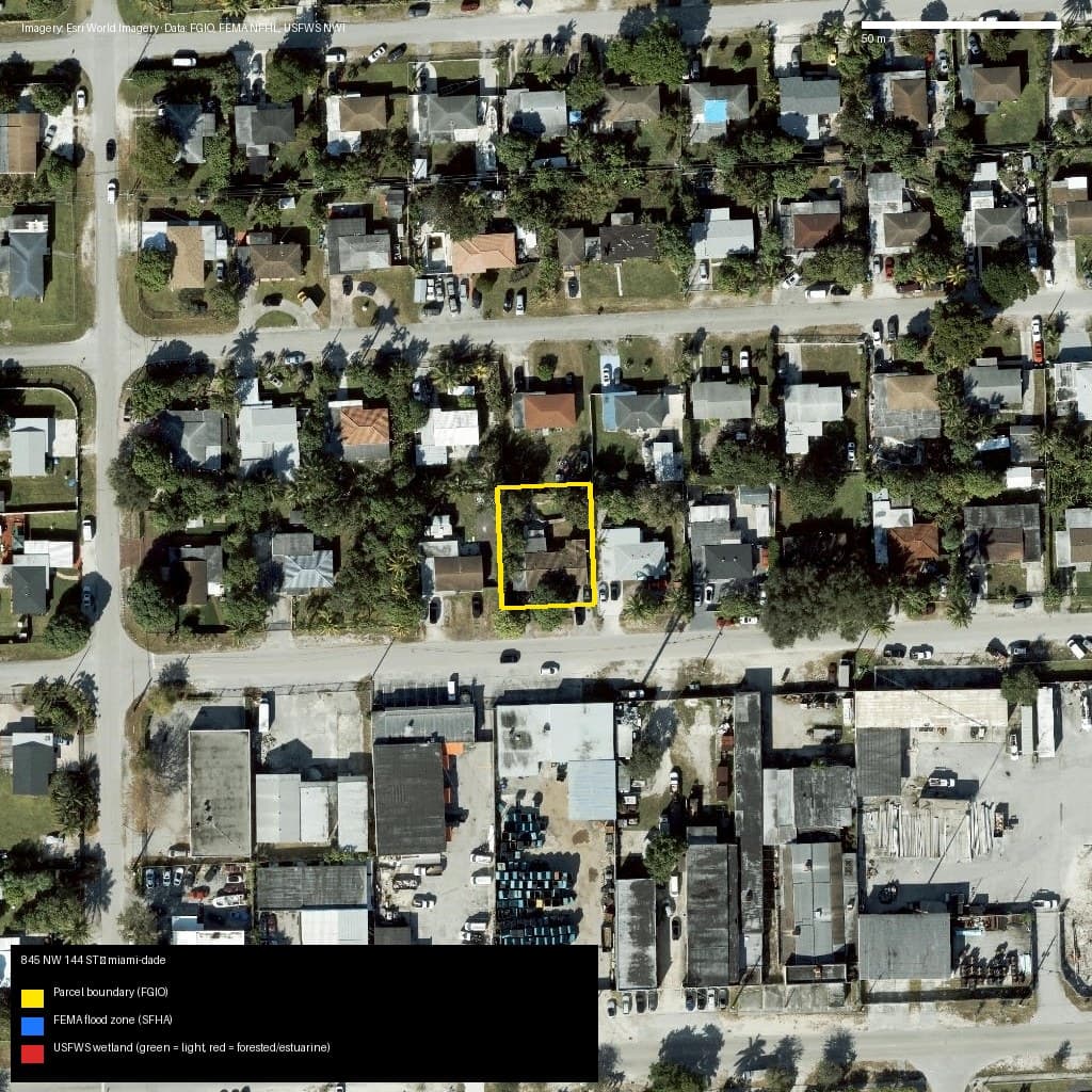
Miami-Dade, FL
845 NW 144 ST, Unincorporated County, FL, 33168
- Zone X — low/moderate risk
- 0% wetlands
Market value (AVM): N/A
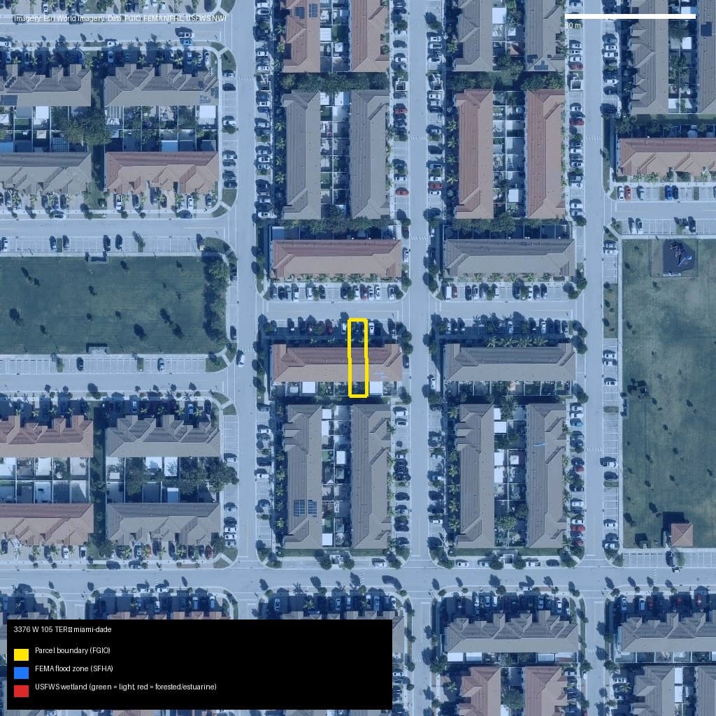
Miami-Dade, FL
3376 W 105 TER, Hialeah, FL, 33018
- Zone AE — high risk (SFHA)
- 0% wetlands
Market value (AVM): N/A
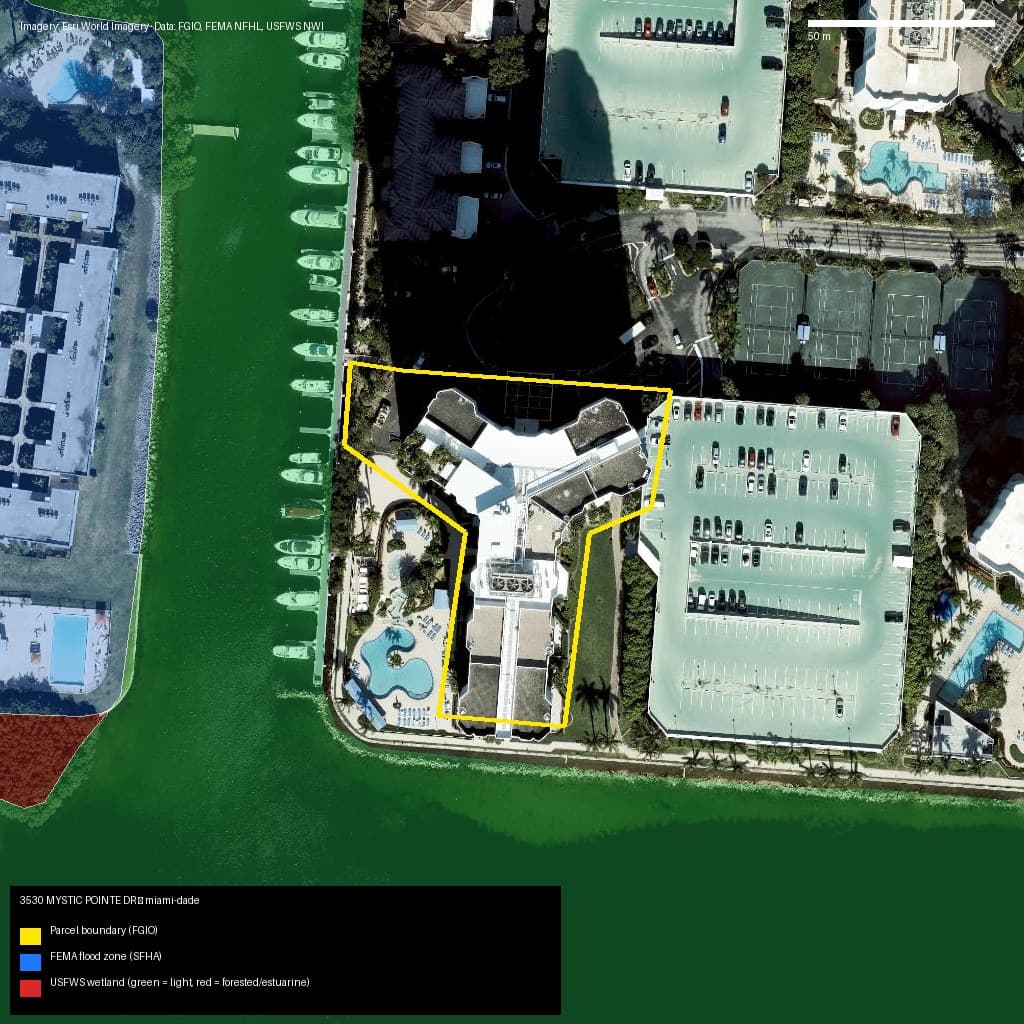
Miami-Dade, FL
3530 MYSTIC POINTE DR, Aventura, FL, 33180
- Zone AE — high risk (SFHA)
- 0% wetlands
Market value (AVM): N/A
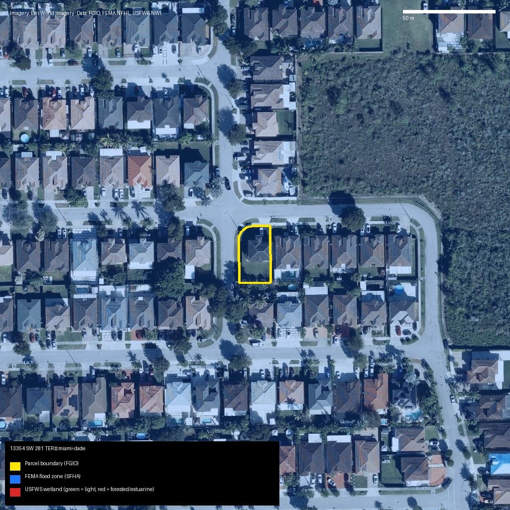
Miami-Dade, FL
13354 SW 281 TER, Unincorporated County, FL, 33033
- Zone AH — high risk (SFHA)
- 0% wetlands
Market value (AVM): N/A
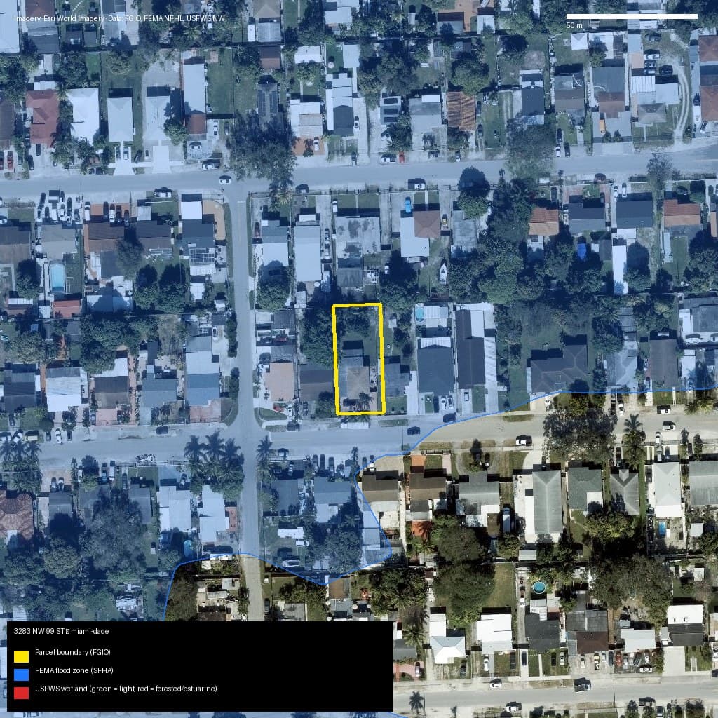
Miami-Dade, FL
3283 NW 99 ST, Unincorporated County, FL, 33147
- Zone AH — high risk (SFHA)
- 0% wetlands
Market value (AVM): N/A
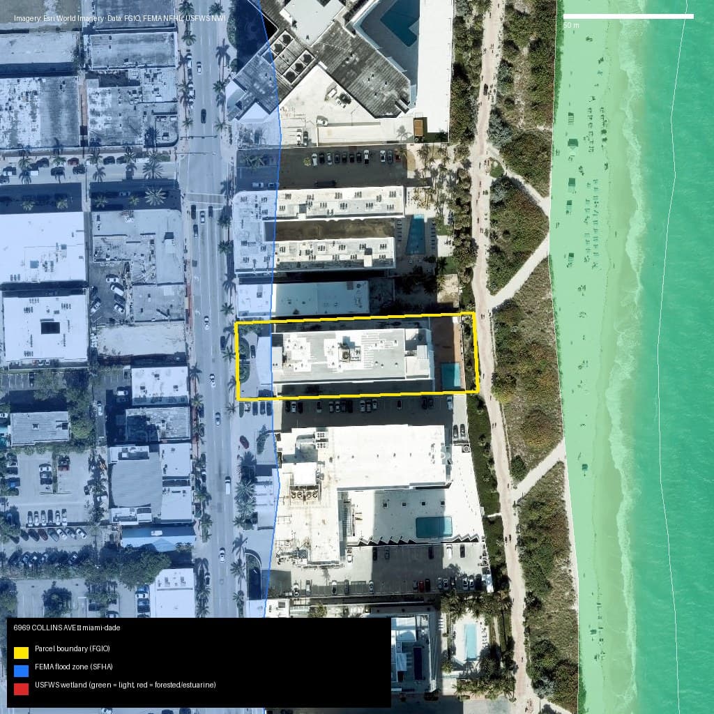
Miami-Dade, FL
6969 COLLINS AVE, Miami Beach, FL, 33141
- Zone AE — high risk (SFHA)
- 0% wetlands
Market value (AVM): N/A
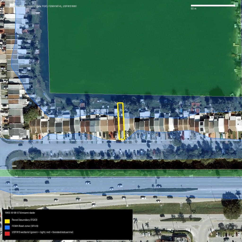
Miami-Dade, FL
1865 W 68 ST, Hialeah, FL, 33014
- Zone AE — high risk (SFHA)
- 0% wetlands
Market value (AVM): N/A
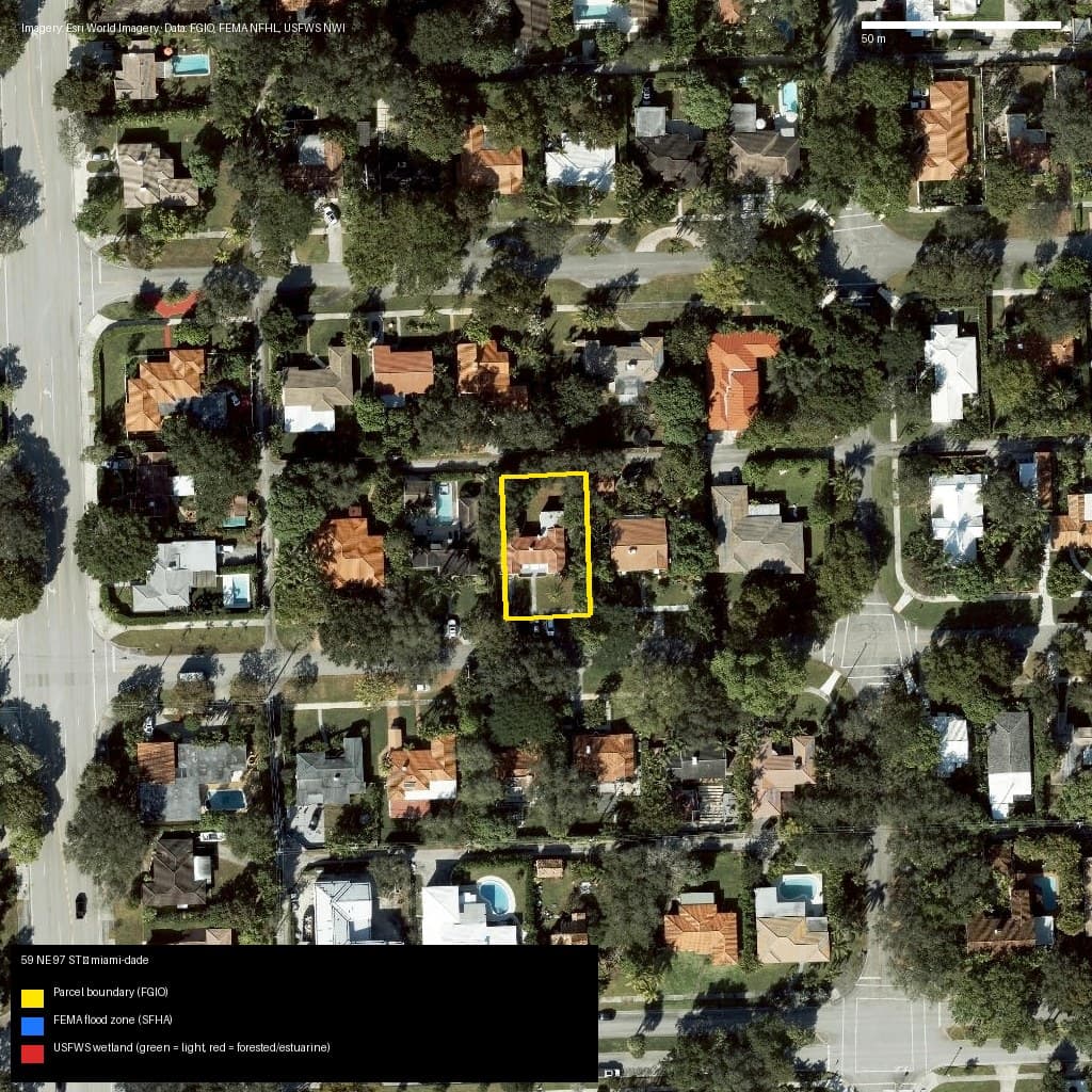
Miami-Dade, FL
59 NE 97 ST, Miami Shores, FL, 33138
- Zone X — low/moderate risk
- 0% wetlands
Market value (AVM): N/A
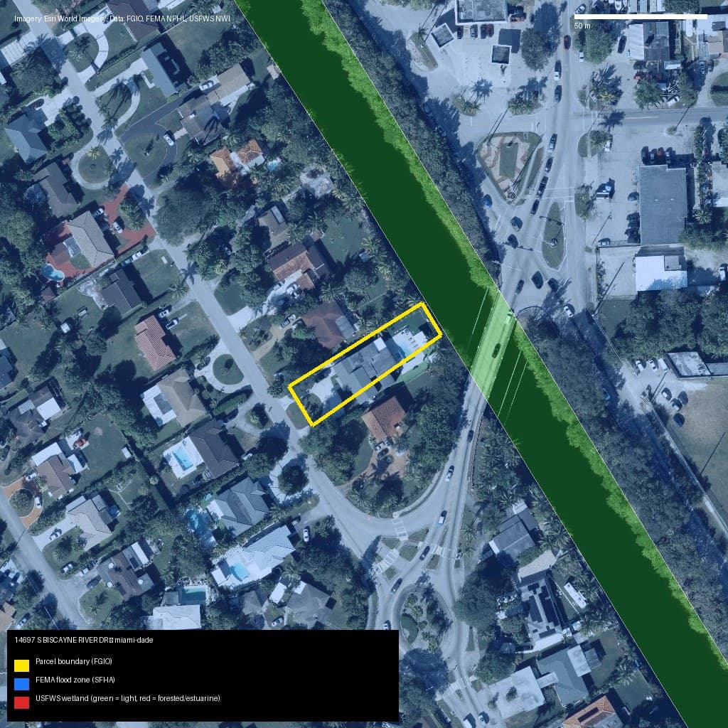
Miami-Dade, FL
14697 S BISCAYNE RIVER DR, Unincorporated County, FL, 33168
- Zone AE — high risk (SFHA)
- 0% wetlands
Market value (AVM): N/A
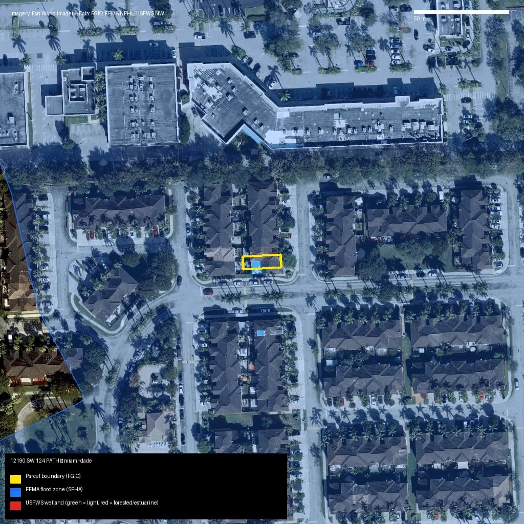
Miami-Dade, FL
12190 SW 124 PATH, Unincorporated County, FL, 33186
- Zone AH — high risk (SFHA)
- 0% wetlands
Market value (AVM): N/A
Simple pricing, in US dollars
First Report
$9.90
1 dossier · once per account
Single Dossier
$29.00
1 full dossier
5-Pack
$99.00
5 credits · never expire
Pro
$299/mo
20 dossiers per month
You buy on the parcel page, after the free preview. Payments by Paddle (Merchant of Record).